AFD Wildfire Division Fuels Mitigation Projects
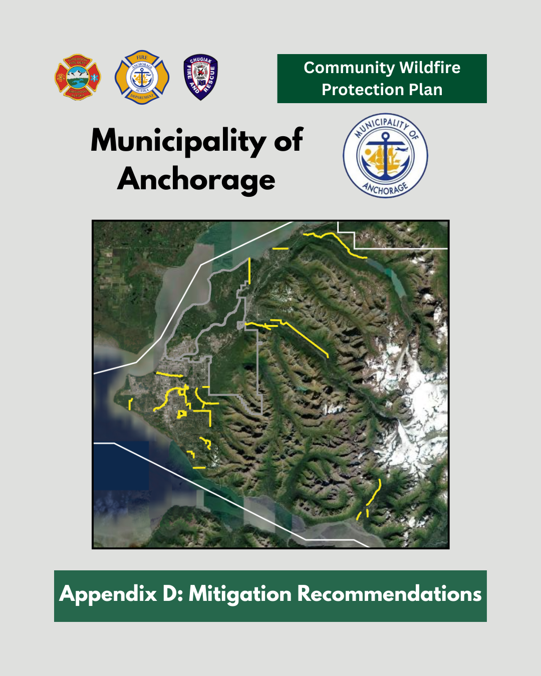 The Community Wildfire Protection Plan (CWPP) identifies wildfire mitigation projects throughout the MOA. The projects below reflect ongoing efforts to reduce wildfire risk and improve community resilience.
Each project is thoughtfully planned and project timelines may change as planning, coordination, environmental review, and funding opportunities evolve. For more information on project prioritization and planning considerations, please refer to Appendix D of the CWPP or email wildfire@muni.org.
On this page: Current/Planned projects within the Municipality - Fuels mitigation videos - Benefits of fuels mitigation - How projects are typically performed - How you can stay informed
PROJECT STRATEGY
Below is the map that depicts general treatment areas identified as priorities to protect the life safety of the public and responders. An interactive version is available on our CWPP page.
Note: The treatment areas shown are approximate and intended for planning purposes only. They represent potential project locations and should not be interpreted as final project boundaries or comprehensive treatment areas.
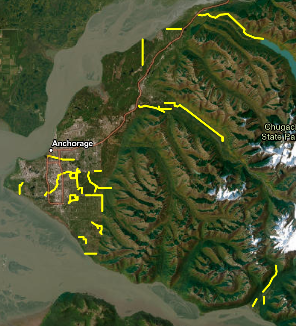
CURRENT & PLANNED PROJECTS: Summer/Fall 2026
The following projects are planned to be completed on a staggered timeline throughout late summer and fall of 2026. They are shown in the map below, with brief project descriptions following. From left to right: Abbott Loop Park (complete), Sahalee, Gasline, and South Basher.
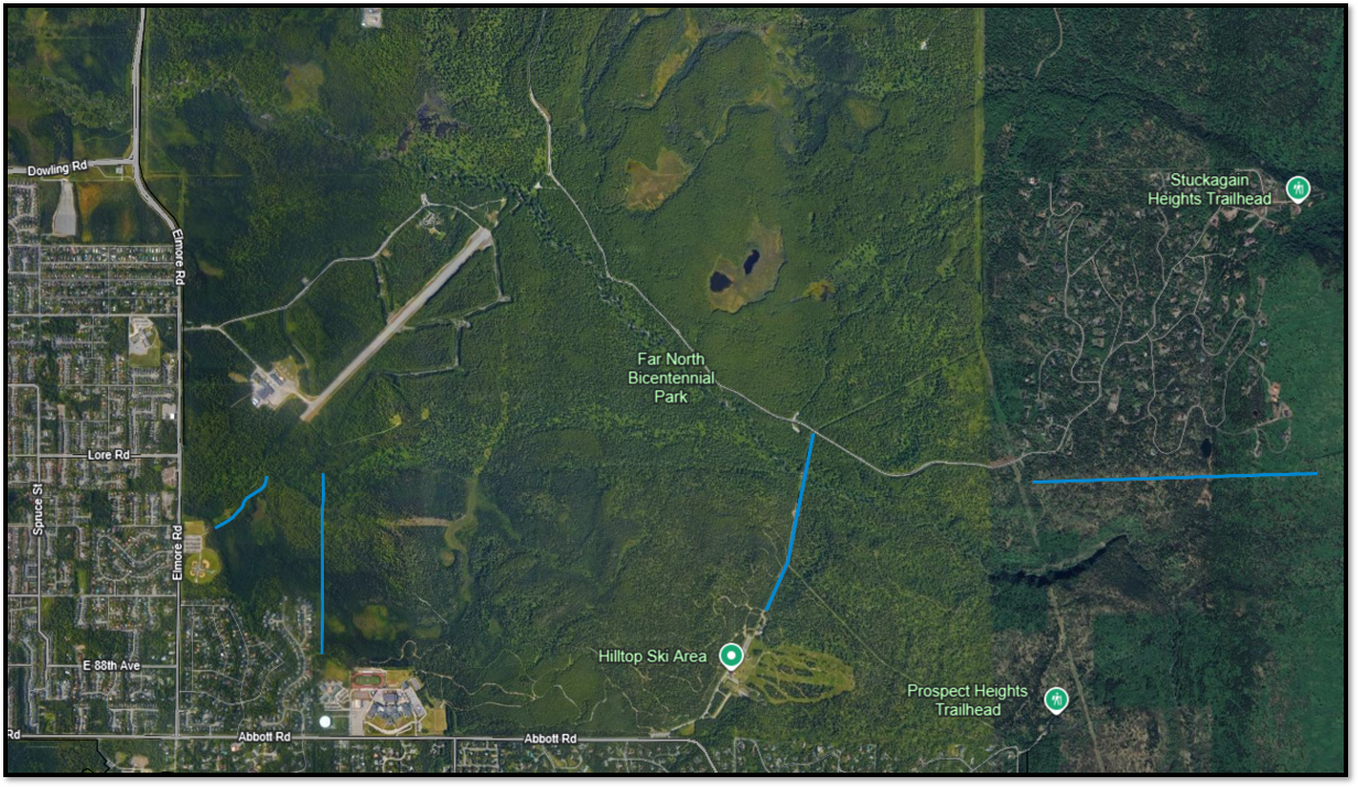
South Basher
The South Basher project is a retreatment of a result in a 200' wide shaded fuel break along the southern border of the Stuckagain Heights Neighborhood, from Basher Trailhead and ending just beyond the eastern border of the neighborhood. Area to Basher Drive. A combination of hand and mechanical methods will be used to remove standing dead and downed trees while reducing ladder fuels by selectively pruning and thinning vegetation up to approximately 8' above the ground. This project is part of an interconnected network of hazardous fuels treatments designed to reduce wildfire risk to strengthen a broader multi-jurisdictional strategy to protect nearby neighborhoods, critical infrastructure, and public lands within the Campbell Tract area.
Implementation is anticipated to begin in the fall of 2026. All work will occur entirely on public lands with no impacts to private property.
Resolutions of Support & Engagement
Funding is provided through a BLM hazardous fuels mitigation grant. During the grant application process, the project was shared with partner agencies and organizations, each of which submitted a letter of support:
- State of Alaska Division of Forestry & Fire Protection
- Anchorage Assembly
- Municipality of Anchorage Parks and Recreation Department
- Basher Community Council
- Anchorage Hillside Home and Landowners Organization (HALO)
- Wildfire Urban Interface Community Action Team (WUI-CAT)
- Singletrack Advocates
Additional public outreach and project-specific information will be shared with the community prior to implementation.
Project Status
This project is anticipated to begin Fall 2026
Gasline
The Gasline project will result in a 200' wide shaded fuel break, from Hilltop Ski Area to Basher Drive. A combination of hand and mechanical methods will be used to remove standing dead and downed trees while reducing ladder fuels by selectively pruning and thinning vegetation up to approximately 8' above the ground. This project connects to the 2025 Campbell Airstrip Road shaded fuel break, expanding an interconnected network of hazardous fuels treatments designed to reduce wildfire risk. Together, these projects strengthen a broader multi-jurisdictional strategy to protect nearby neighborhoods, critical infrastructure, and public lands within the Campbell Tract area.
Implementation is anticipated to begin in the fall of 2026. All work will occur entirely on public lands with no impacts to private property.
Resolutions of Support & Engagement
Funding is provided through a BLM hazardous fuels mitigation grant. During the grant application process, the project was shared with partner agencies and organizations, each of which submitted a letter of support:
- State of Alaska Division of Forestry & Fire Protection
- Anchorage Assembly
- Municipality of Anchorage Parks and Recreation Department
- Basher Community Council
- Anchorage Hillside Home and Landowners Organization (HALO)
- Wildfire Urban Interface Community Action Team (WUI-CAT)
- Singletrack Advocates
Additional public outreach and project-specific information will be shared with the community prior to implementation.
Project Status
This project is anticipated to begin Fall 2026
Sahalee
The Sahalee Shaded Fuel Break project area lies west of Service High School and extends north from private property boundaries to adjacent BLM lands. A 200' wide shaded fuel break created by a combination of mastication equipment and hand crews will result in a treatment of approximately 15.8 acres. This project will directly protect an estimated $250 million in property and benefit approximately 930 residents, while improving firefighter access and tactical effectiveness during a wildfire incident. Implementation is scheduled for the fall of 2026, occurring entirely on public lands with no impact to private property.
Resolutions of Support & Engagement
A resolution of support has been obtained by MOA Parks & Recreation and verbal support has been provided by the Bureau of Land Management and Alaska Department of Fish & Game.
A resolution of support has also been obtained by Abbott Community Council.
Funding was sourced by the Anchorage Hillside Home and Landowners Organization (HALO).
Project Status
This project is anticipated to begin Fall 2026.
COMPLETED PROJECTS
Abbott Loop Park
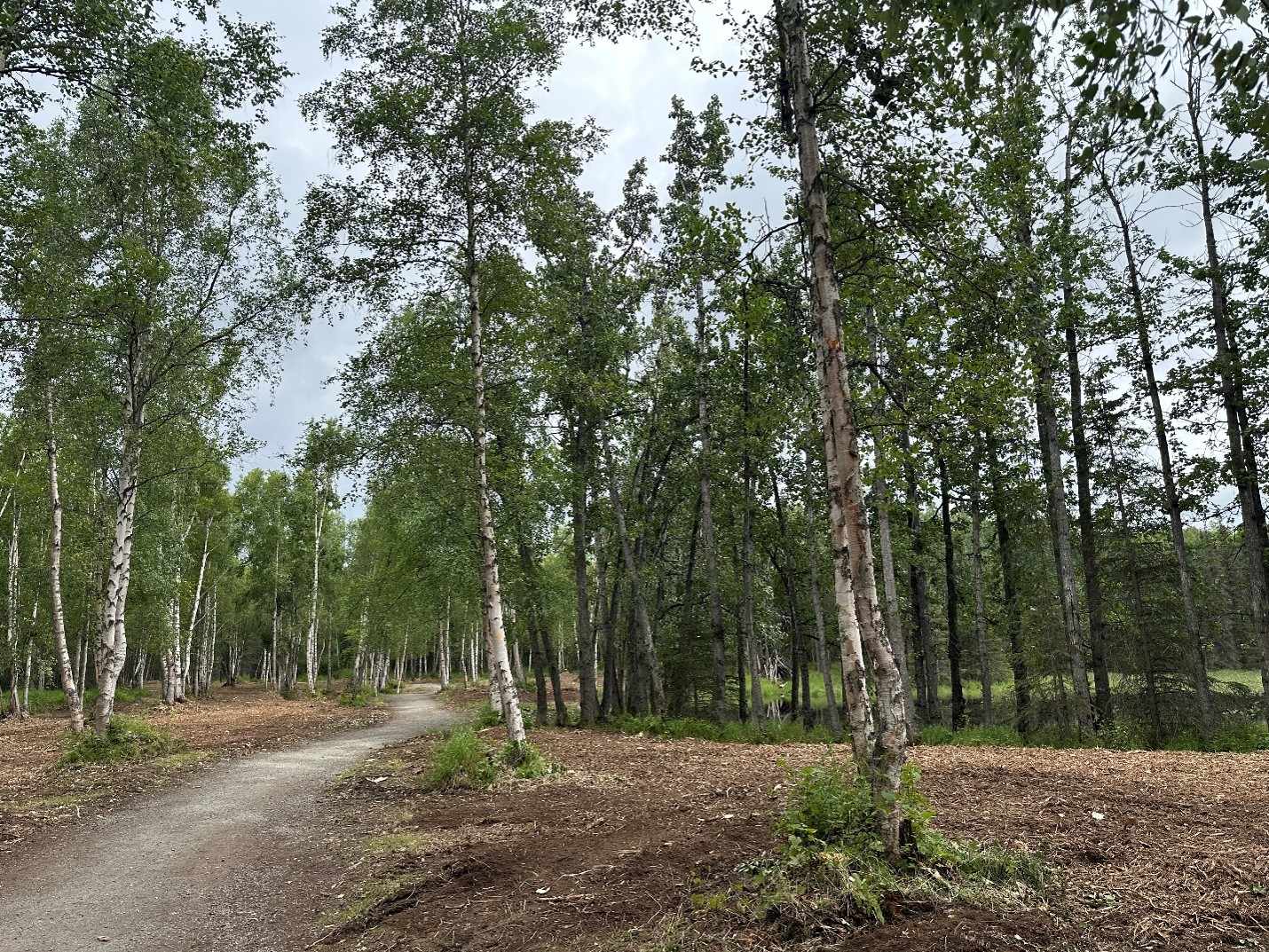
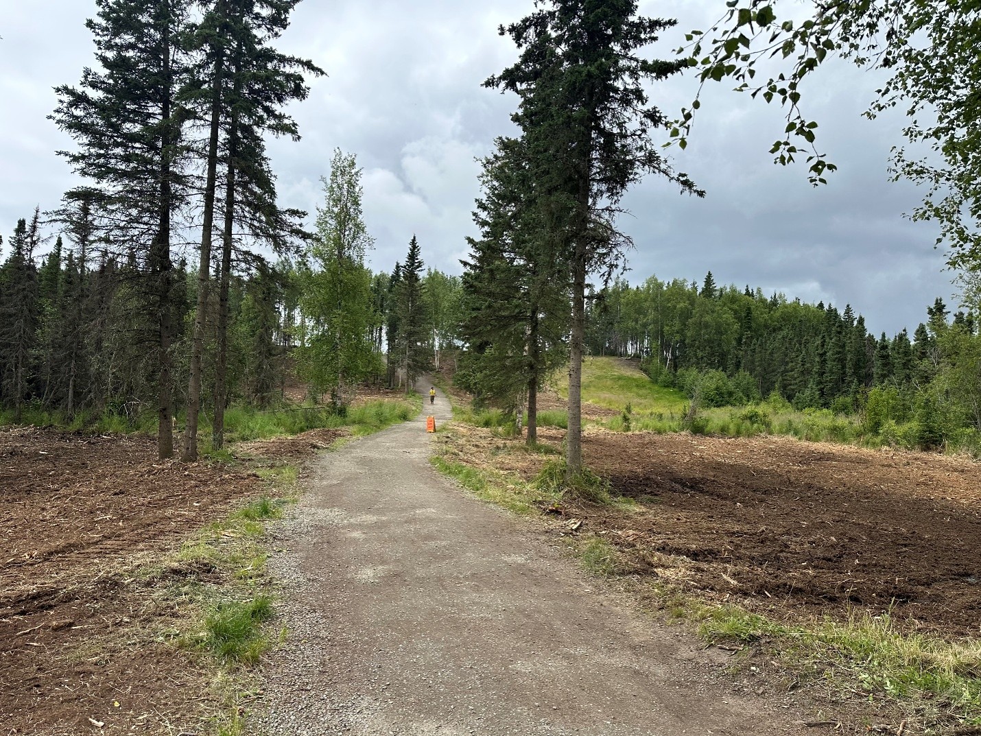
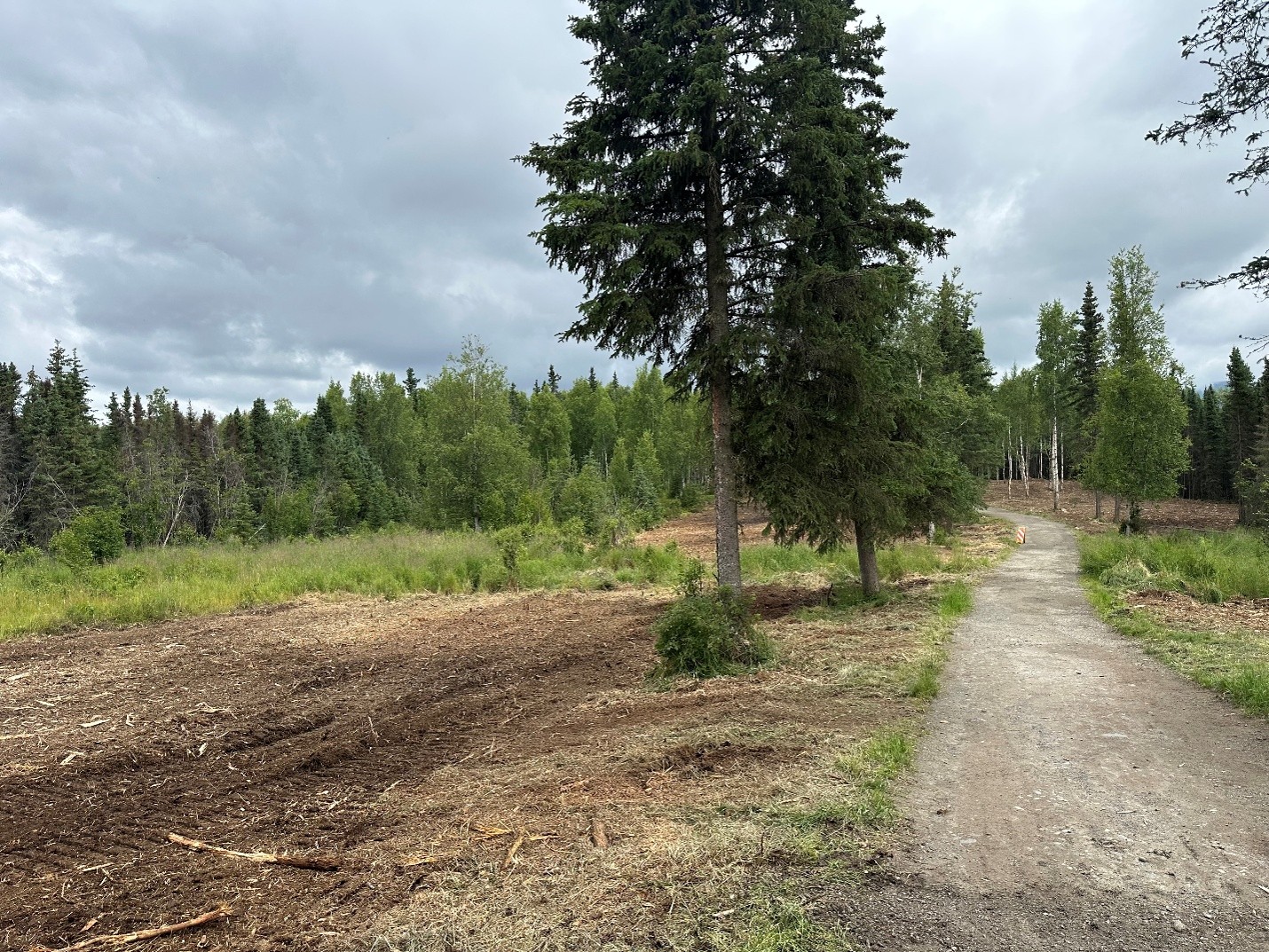
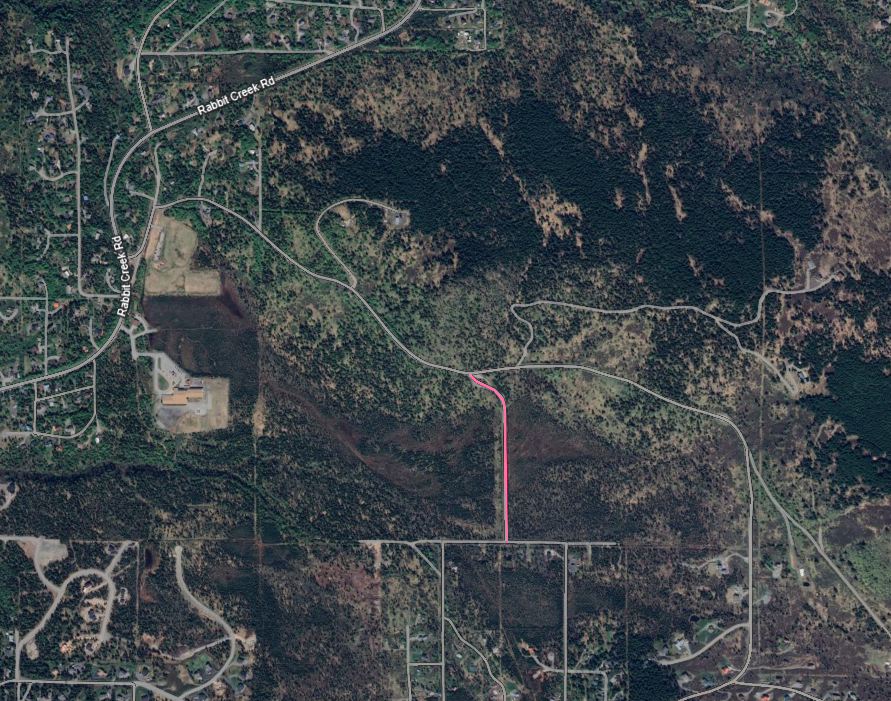
The Abbott Loop Community Park Shaded Fuel Break begins at the Homestead Trail trailhead within Abbott Loop Community Park and extends along Homestead Trail to its intersection with Coyote Trail at the Bureau of Land Management (BLM) boundary.
The project created a 150-foot-wide shaded fuel break (75 feet on each side of the trail centerline) using a combination of mechanical mastication and hand crews. Treatments reduce hazardous wildfire fuels while preserving the park's natural character and recreational value.
This project was developed through close collaboration between the AFD Wildfire Division, the Municipality of Anchorage Parks & Recreation Department, and the BLM. By connecting AFD fuel reduction work with adjacent BLM treatments, the project creates a more continuous and effective wildfire mitigation corridor across jurisdictional boundaries, helping protect residents, visitors, and critical infrastructure.
Implementation began on July 23, 2026 with work complete on July 29, 2026.
Resolutions of Support & Engagement
This project reflects a coordinated, multi-jurisdictional approach to reducing wildfire risk in Anchorage. The treatment location was jointly developed by the AFD Wildfire Division and the BLM to complement existing and planned hazardous fuels reduction efforts.
The Municipality of Anchorage Parks & Recreation Department participated in project planning and provided a resolution of support for this and other projects occurring on park lands within the Community Wildfire Protection Plan (CWPP).
Funding is provided through a BLM hazardous fuels mitigation grant. During the grant application process, the project was shared with partner agencies and organizations, each of which submitted a letter of suppor
t:
- State of Alaska Division of Forestry & Fire Protection
- Anchorage Assembly
- Municipality of Anchorage Parks and Recreation Department
- Anchorage Hillside Home and Landowners Organization (HALO)
- Wildfire Urban Interface Community Action Team (WUI-CAT)
- Singletrack Advocates
Project Status
This project is complete.
Heights Hill
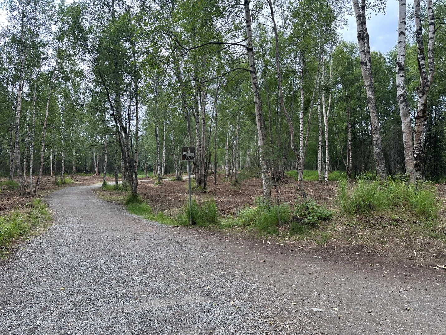
The Heights Hill hazard fuel mitigation project resulted in a 100' wide clear cut fuel break on public lands along the west side of Heights Hill Road, from Clarks Road to Jamie Avenue. The total estimated treatment area is 4.6 acres and was complete during winter of 2025. It protects more than $158 million in property and several critcal egress routes.
Resolutions of Support & Engagement
The Hillside Home and Landowners Organization secured funding for hazard mitigation projects in the Hillside area and supported this project with those funds. Alaska Department of Fish and Game was in support.
Resolutions of support were obtained from the landowners, Heritage Land Bank, as well as the land managers, Muni Parks & Recreation.
The Wildfire Division met with Bear Valley Community Council on September 10th to discuss the project.
Campbell Airstrip Road
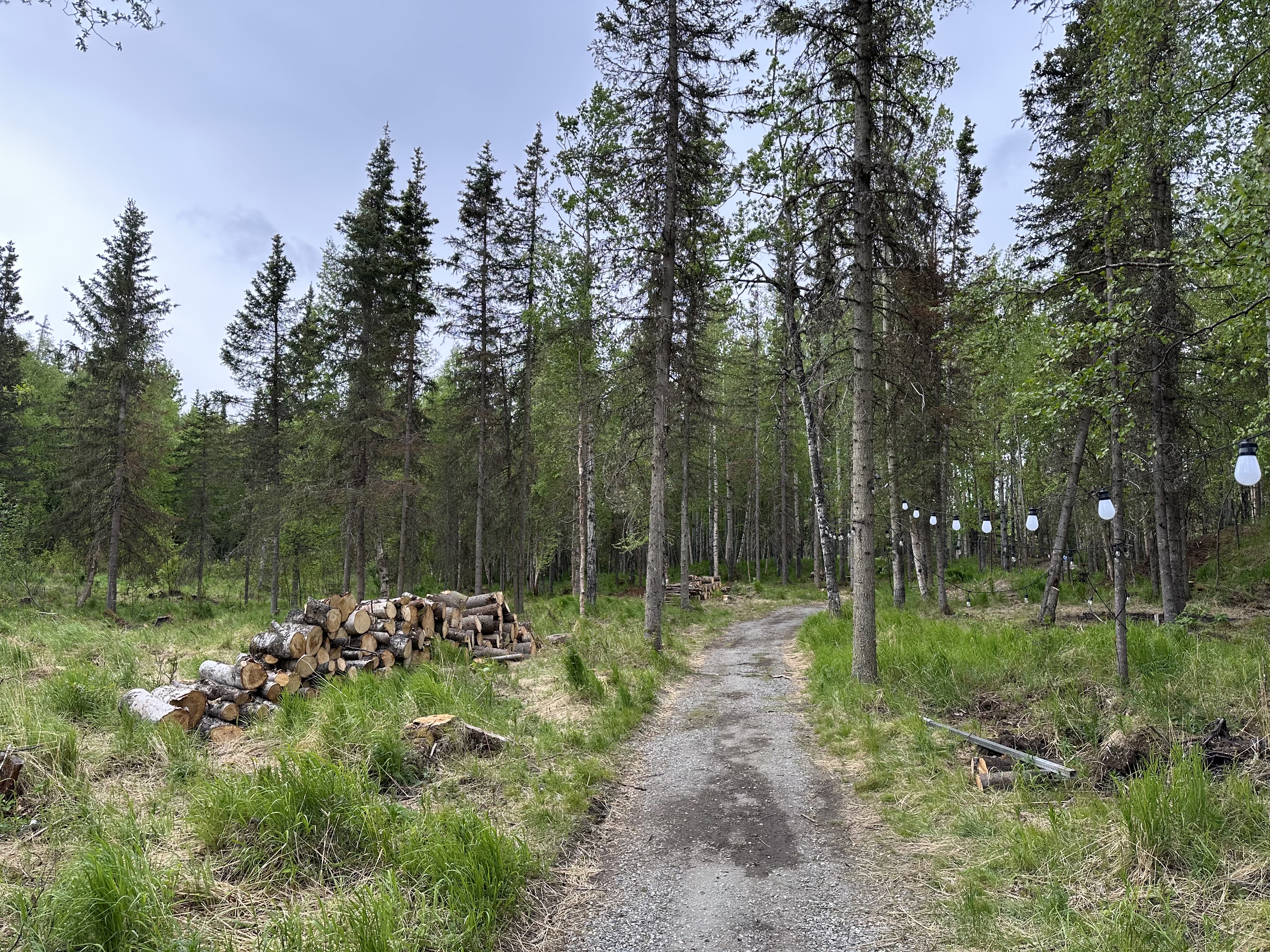
The Campbell Airstrip Road Shaded Fuel Break Project aims to reduce wildfire risk and enhance public safety along a 3.1-mile stretch from Fire Station 14 to the Basher Drive Trailhead. Campbell Airstrip Road serves as a single access route for firefighters and a critical egress route for the public, making hazardous fuel reduction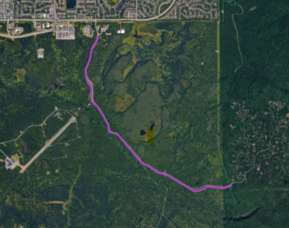 essential for safe evacuation during a wildfire. The project will create a 300-foot-wide shaded fuel break by removing dead and downed trees, thinning spruce and hardwood stands and reducing ladder fuels. Special care will be taken in sensitive areas to minimize environmental impact. All debris will be mulched or chipped on-site, with usable firewood made available for public collection.
The Anchorage Fire Department Wildfire Division is committed to proactive wildfire mitigation efforts that enhance public safety while promoting a healthy and resilient forest landscape.
Resolutions of Support & Engagement
Ahead of this project, the wildfire division engaged the community by providing information and soliciting feedback about the project. Resolutions of support were obtained from the Basher Community Council and MOA Parks & Recreation.
Additional Collaboration:
- Heritage Land Bank (land owner/manager of some affected parcels)
- Federation of Community Councils
- This project was discussed at more than 50 community council meetings & other community events. Area councils such as Scenic Foothills, University Area and Campbell Park requested and received presentations specific to this project
- Far North Bicentennial Trail User Group
- Bureau of Land Management at Campbell Tract
- MOA Planning Department
- Alaska Department of Fish & Game
- State of Alaska Division of Forestry
- Alaska Botanical Garden
- Local contractors capable of performing the work
Project Status
The project began on May 19th and is now complete. Thank you to all of the cooperators and community members who made this project a success.
East-West Connector
The East-West Connector Shaded Fuel Break Project reduced wildfire risk and enhanced public safety along a corridor extending from Hilltop Ski Area Road to the Prospect Heights Trailhead. The project was completed through a collaboration between the State of Alaska Division of Forestry & Fire Protection and the Anchorage Fire Department, with the Division of Forestry's Type 2 IA Handcrew, Gannet Glacier, performing the work.
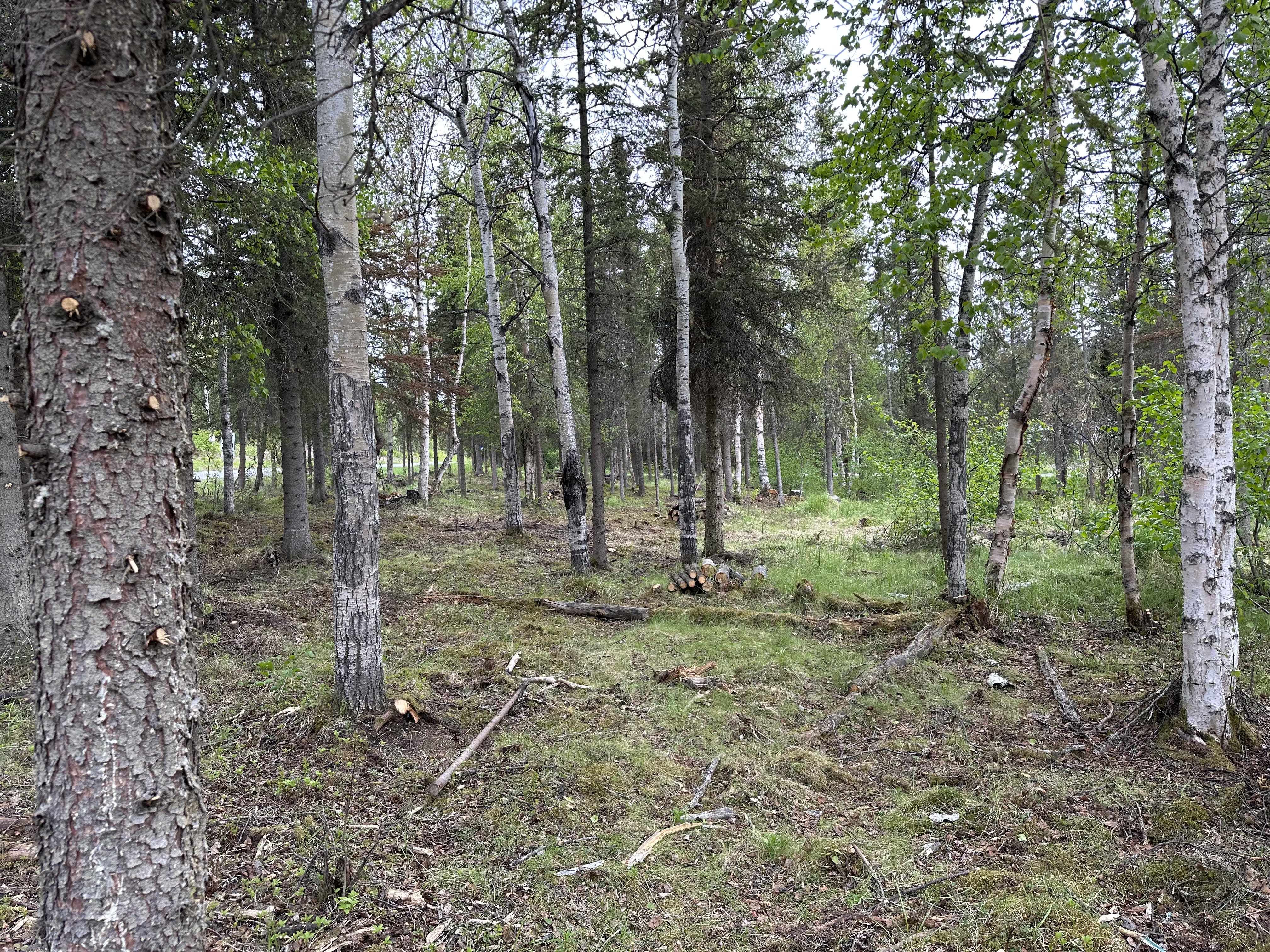
The project created a 200-foot-wide shaded fuel break that reduced the most fire-prone fuels while strategically retaining tree and shrub species that are less susceptible to wildfire. The result is a natural-looking environment that maintains the character of the Hillside area while improving wildfire resilience. The fuel break was set back approximately 50 feet from private property boundaries.
During implementation, Gannet Glacier crews camped at the project site, and visitors to the area may have observed additional vehicles, equipment, and trail closures. Queen Bee and Janices Jive trails were temporarily closed to protect the public from the hazards associated with fuels mitigation activities.
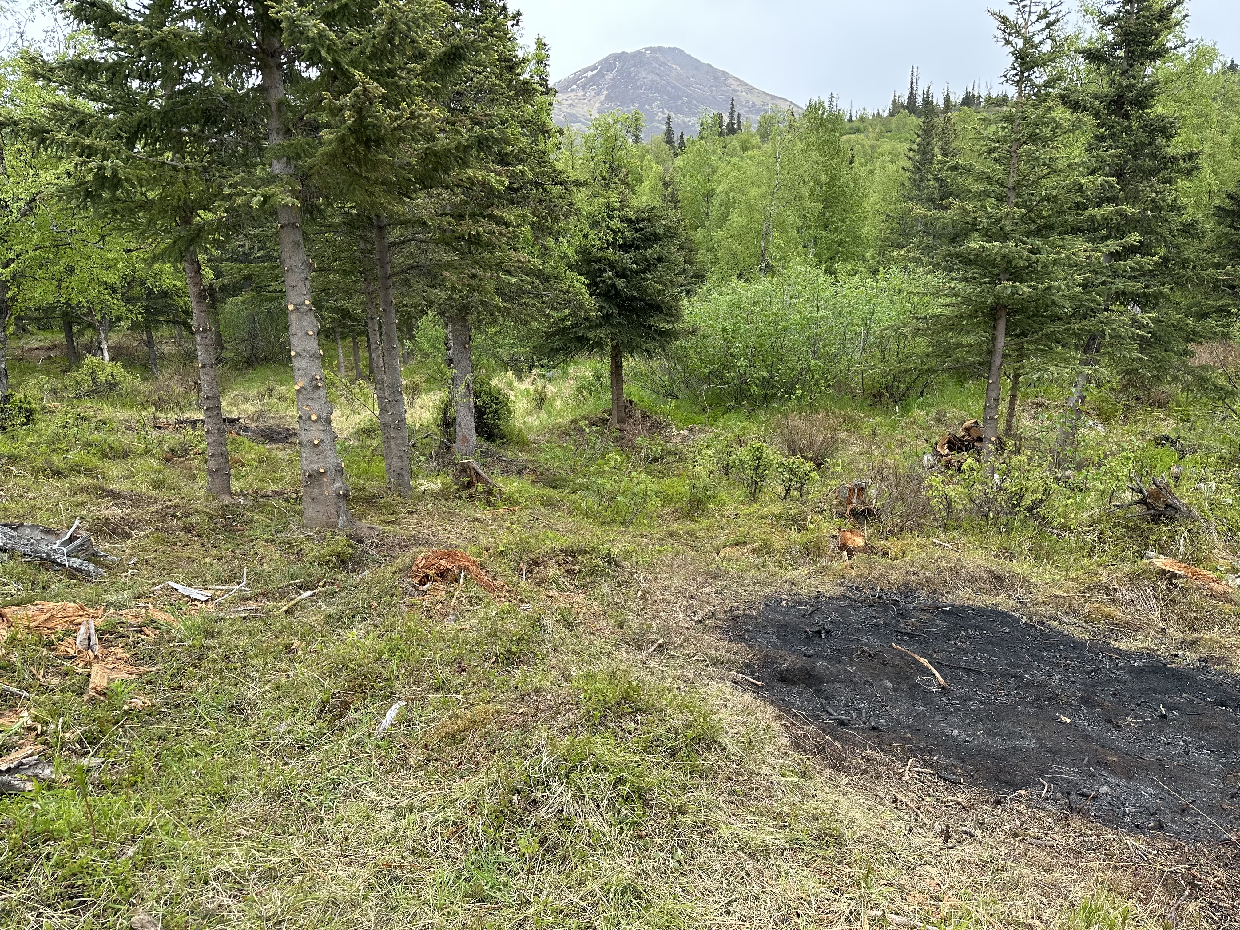
Special care was taken in environmentally sensitive areas to minimize impacts to trails and surrounding lands while preserving the scenic qualities valued by trail users. The project also enhanced habitat values by retaining a diverse mix of tree and shrub species. Vegetative debris generated during the project was managed through mulching and, where appropriate, the burning of debris piles by wildland firefighters.
Project Status
The project was officially complete on May 30th. Thank you for partnering with us, DFFP! Learn more about the project on akfireinfo.com and watch the videos below to learn more about what we accomplished with this fuel break and the impact it will have.
FUELS MITIGATION VIDEOS