

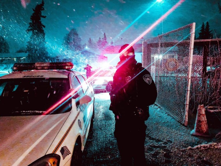

Chief Sean Case
Thank you to the members of our community who recognize and greatly appreciate the sacrifice and dedication of our officers.

Behind the Badge - Academy 25-1
The making of an officer. Follow along with our weekly academy updates.
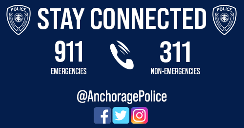
Headquarters: 716 W 4th Ave, Anchorage, AK 99501
Customer Service Window: 8am - 5pm, M-F.
Main: 907-786-8900, Non-emergency: 3-1-1, Emergency: 9-1-1

Make a Difference
You can make a difference in our community! Consider an exciting and rewarding career in public safety with APD.